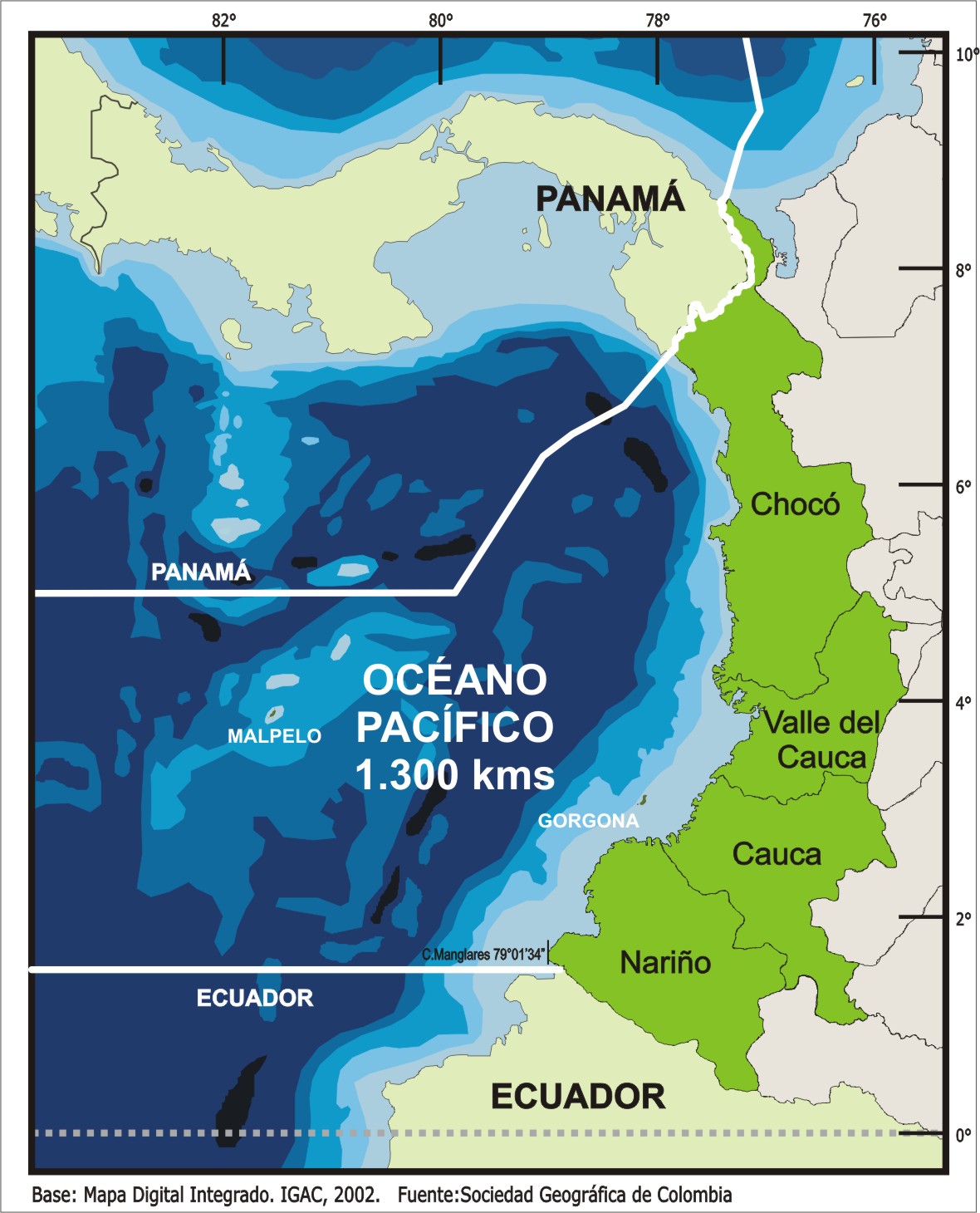
FRONTERA CON EL PACÍFICO Longitud de frontera sobre el Pacífico: 1.300 kmDesde: Cabo ManglaresHasta: Punta ArditaDepartamentos limítrofes:NARIÑO:municipios limítrofes: Tumaco, Francisco Pizarro (Salahonda), Mosquera, Olaya Herrera, La Tola, El Charco, Santa BarbaraCAUCA:municipios limítrofes: Guapi, Timbiquí, LópezVALLE DEL CAUCA:municipios limítrofes: BuenaventuraCHOCÓ:municipios limítrofes: Litoral de San Juan, Bajo Baudó, Nuquí, Bahía Solano, Juradó